Eastern Prince Edward Island rewards a route with fewer anchors and more room between them. Beaches, lighthouses and working harbours all depend on weather, season and local access.
Two days reduce backtracking and create space for an unscheduled stop. Check official road, park and ferry information before setting out.

Kayaking and Oyster Tasting Experience in Prince Edward Island
Set off on a one-of-a-kind adventure that blends kayaking, fresh seafood, and hands-on learning. You’ll depart from Red Head Harbour by kayak, paddl...
Day one: beaches and harbour towns
Choose one main beach or coastal walk, then connect it with a nearby town rather than racing to every marked point. Basin Head and the Souris area are common anchors, but current access and facilities should guide the final plan.
Day two: the eastern tip and a slower return
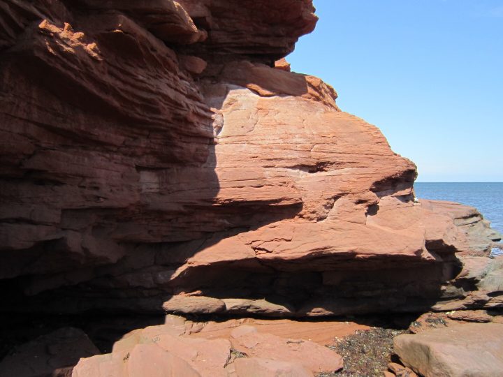
East Point and nearby coastal roads can form the second day’s focus. Confirm lighthouse access and avoid approaching cliff edges or closed areas. Return by a different public route only when road conditions and time allow.
Allow for coastal weather
Fog, wind and rain can change views and walking conditions. Keep an inland or town-based alternative and avoid making a timed reservation dependent on a long chain of roadside stops.
Drive with working communities in mind
Do not block wharves, private lanes, farm entrances or emergency access for photographs. Use designated parking and keep speeds low through villages.
Food and fuel planning

Beginner Brudenell Beach Trail Ride
Experience the magic of horseback riding at Brudenell in a gentle introduction perfect for novices, building confide...
Kayaking and Oyster Tasting Experience in Prince Edward Island
Set off on a one-of-a-kind adventure that blends kayaking, fresh seafood, and hands-on learning. You’ll depart fro...
Kayaking and Oyster Tasting Experience in Prince Edward Island
Set off on a one-of-a-kind adventure that blends kayaking, fresh seafood, and hands-on learning. You’ll depart from Red Head Harbour by kayak, paddl...

Historic Walking Tour of Charlottetown
Being an Islander all my life, with my family having deep roots here, you will not only learn about the history and...

Green Gables House & Our Island Experience
Discover “the fairest land ‘tis possible to see” on our Green Gables Shore half-day tour from Charlottetown. T...

Charlottetown Walking Tour
Join Josh a 6th Generation Islander whose family has called the Island home since 1806 or Mark , Ken , Carolyn who a...
Services may be farther apart or more seasonal than a map suggests. Refuel before the most rural section and confirm food hours directly, especially outside peak summer.